Download and print
 So you have found your parcel or parcels of interest! Now what? Do you wish to download a digital copy or make a print of your view?
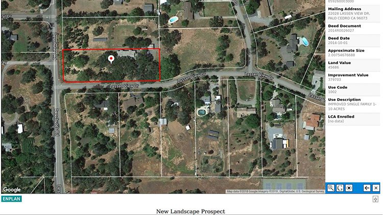
The Download View and Print View tools make it easy. If you have one parcel selected, it will be outlined in red and a panel displaying related property information will be open on the right. You can download and/or print the view, including the red outline and property information, just as you see it on your screen. The same is true when multiple parcels are selected. They will outline and fill in yellow, and the assessor parcel numbers will appear for each parcel in the right information panel. You can also give your map view a title as you wish up to 100 characters in length.
Here are the steps to download and/or print your map view:
- Select your parcel(s) of interest.
- When you have the map view on your screen looking as you want, there are two output options:
- Select the Download View tool. From the panel that opens on the left, select the file type for download, PDF or PNG, and give your map a title if you wish. When you are ready, click Create File. Next, click Download and your map will appear in your default download folder.
OR
- Select the Print View tool. From the panel that opens on the left, add title if you wish. When you are ready, click Print. Next, click View and a PDF will open as a new page in your web browser. From there, use the print tool in your PDF viewer to make copies as you wish.
Recent Comments