Parcel line accuracy in PARCEL VIEWER
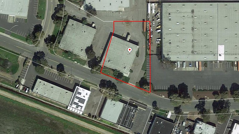 Why are the property boundaries in PARCEL VIEWER different from the map I was given when I purchased my property? This is a common question and there are many variations on this theme. The parcel geometry we display is compiled by the county. When these parcel base maps are built, they generally trace the old 11”x 17” paper assessor parcel maps, stitch them together, pin the lines to available known geospatial points, and hope for the best. And this is perfectly reasonable. Anything more, like rectifying all the lines in the county to real world coordinates or Google imagery, consistent with maps of record, would not be feasible or even doable.
To make matters more interesting, many rural or exurban parcels have little showing on the ground to pin parcel lines to and often no known corners in real world coordinates. The only way to potentially resolve this is to have a serious surveyor find and mark the corners, and draw a map. Be sure a survey grade GPS device is used, proper monuments are set, and the boundary data is provided digitally in real world coordinates. Nice too will be to have the boundaries drawn on a rectified digital orthophoto and delivered as a PDF, or shp file if you are GIS-inclined, or a CAD file if you have engineering in your DNA. That way you can easily distribute copies and you have a very permanent record. Further, with real world coordinates, you will be able to upload and see your corners in the PARCEL VIEWER professional version soon, even draw the boundaries on your own private map layer, share access with associates, and navigate to them on the ground using your GPS-enabled cell phone.